Enhancing Local Action and Community Participation in Disaster Preparedness and Response
.jpg)
Background:
This project addresses the issue of increasing flood risk as a result of climate change and growing human settlements in flood-prone areas. It aims to enhance community resiliency towards disasters especially flood by sharing best management practices; training on town watching exercise in preparing community-based flood hazard maps; developing simple procedures and localised training for community disaster preparedness; and adaptive Training of Trainers (ToT) modules for community - level application.
Objective:
- Objective 1: To form SMART partnership and establish platform to empower the communities with the knowledge and skill to create awareness on environment and impact of climate change that leads to action.
- Objective 2: To mitigate impact of climate disaster with actions that promotes environment protections and safeguarding community well beings.
- Objective 3: To outreach and share importance of environment management, best management practices, local actions and community participation in disaster preparedness and response to a wider community group.
Activities:
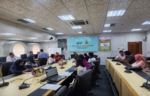
- Stakeholder Consultations and Formation of Project Working Group (PWG)
Consultations were successfully conducted among identified stakeholders across the four flood-prone states Perak, Negeri Sembilan, Selangor, and the Federal Territory of Kuala Lumpur to align on local needs and implementation frameworks. A state-level Project Working Group (PWG) chaired by NADMA was formed, comprising APM, JPS, SUK Selangor, DBKL, and district offices. The PWG provided technical guidance, identified pilot communities, and ensured coordinated action between agencies and project partners such as Yayasan PETRONAS and the Global Environment Centre (GEC). This groundwork established a clear mechanism for project rollout at the state and district levels.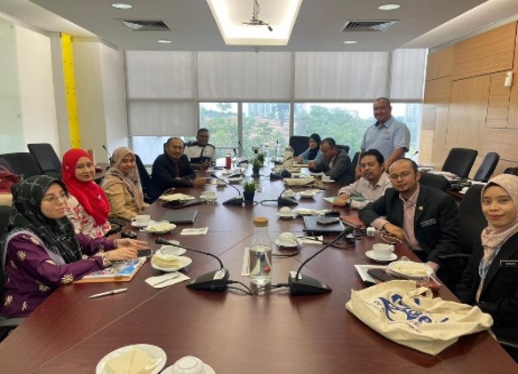


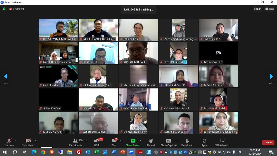
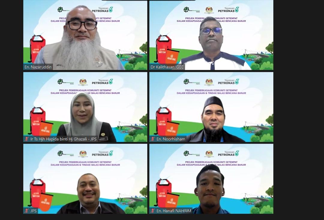
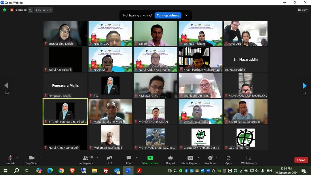
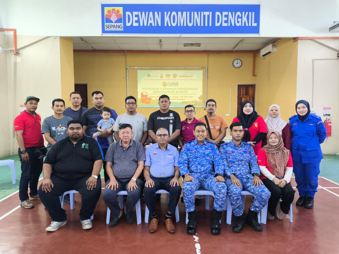
- Awareness Talks and National Webinar Series on Disaster Preparedness
A series of six national webinars was completed between 2024 and 2025, engaging over 1,150 participants from local communities, schools, and government agencies. The webinars covered diverse topics such as natural disasters in Malaysia, integrated flood management, landslides, drought preparedness, and peatland fire prevention. Each session included quizzes and interactive discussions, leading to strong participant feedback calling for more frequent sessions. These awareness talks successfully enhanced public understanding of disaster risks, early warning measures, and climate adaptation at the community level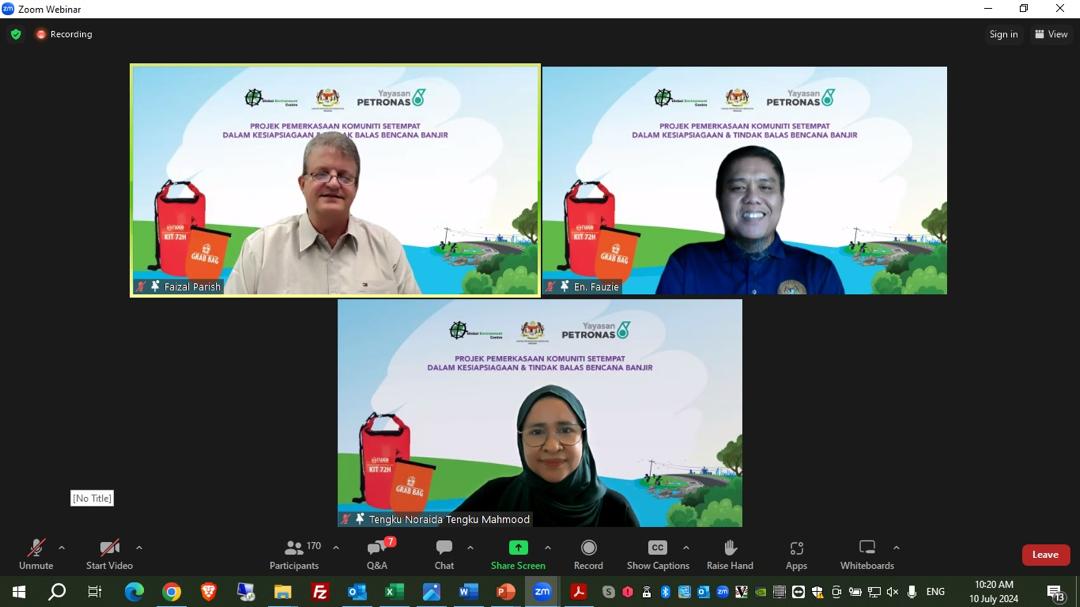
- Development and Dissemination of Informative Materials on Flood Preparedness
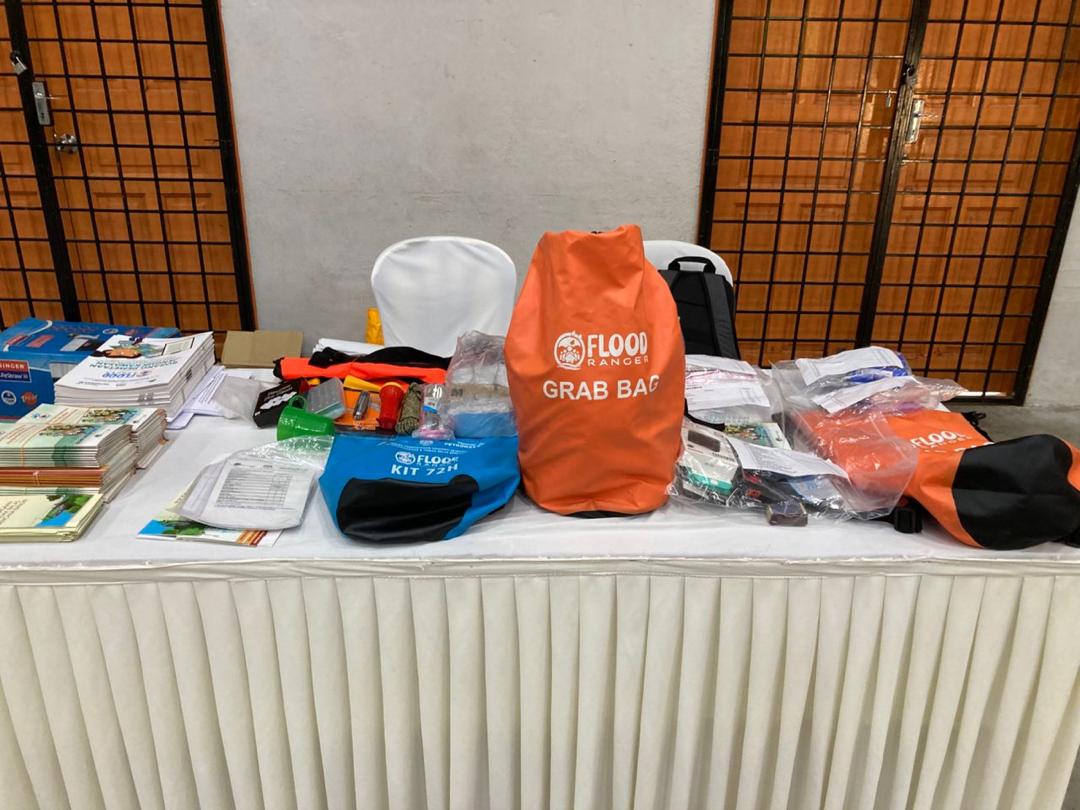
Comprehensive learning materials including the Grab Bag and 72-hour checklist, Community Flood Safety Handbook, Flood Route Pocket Map, and Town-Watching Guidebook were developed and circulated to more than 20 target communities. Infographics, brochures, and videos were uploaded on GEC’s official platforms and shared through social media and local partners’ news portals to expand visibility. These resources strengthened the knowledge base among flood-prone communities and promoted proactive household preparedness actions.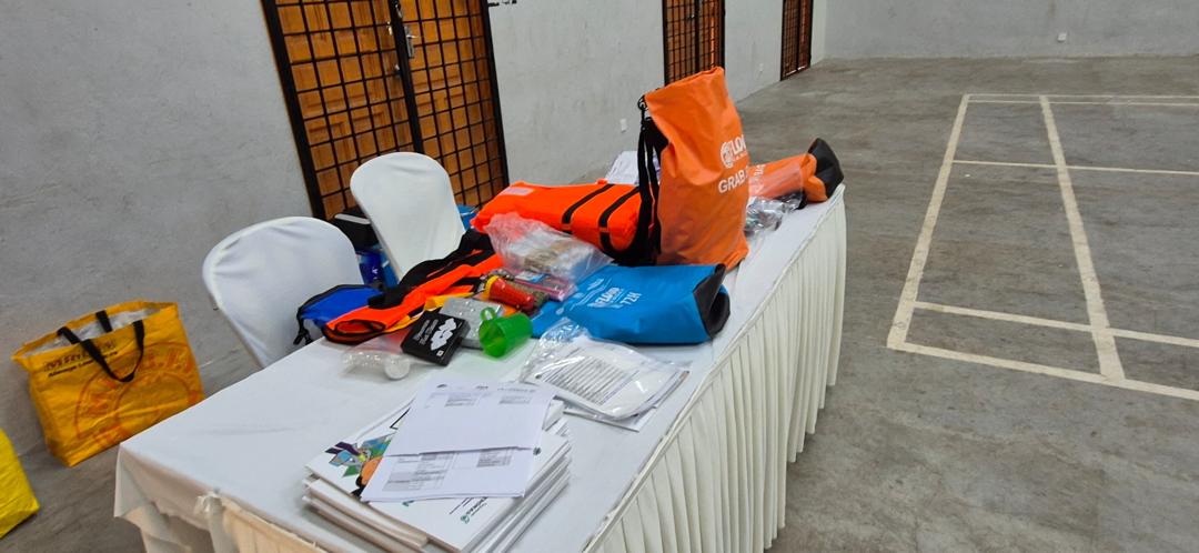
- Centralised Training of Trainers (ToT) on Community Flood Preparedness
Four centralized Training of Trainers (ToT) sessions were successfully held in WPKL (Oct 2024), Selangor (Dec 2024), Negeri Sembilan (Feb 2025), and Perak (Feb 2025), involving over 120 participants from 40 communities and over 70 agency officers. The training equipped participants with knowledge on early warning systems, flood response, and safe evacuation mapping. Collaboration with APM, JPS, and NADMA ensured state-specific alignment. These ToTs built the foundation for localized community initiatives, many of which later developed hazard maps and implemented follow-up flood mitigation activities.
- Development of Community-Based Flood Hazard Maps (CBFHM) and Local Action Plans
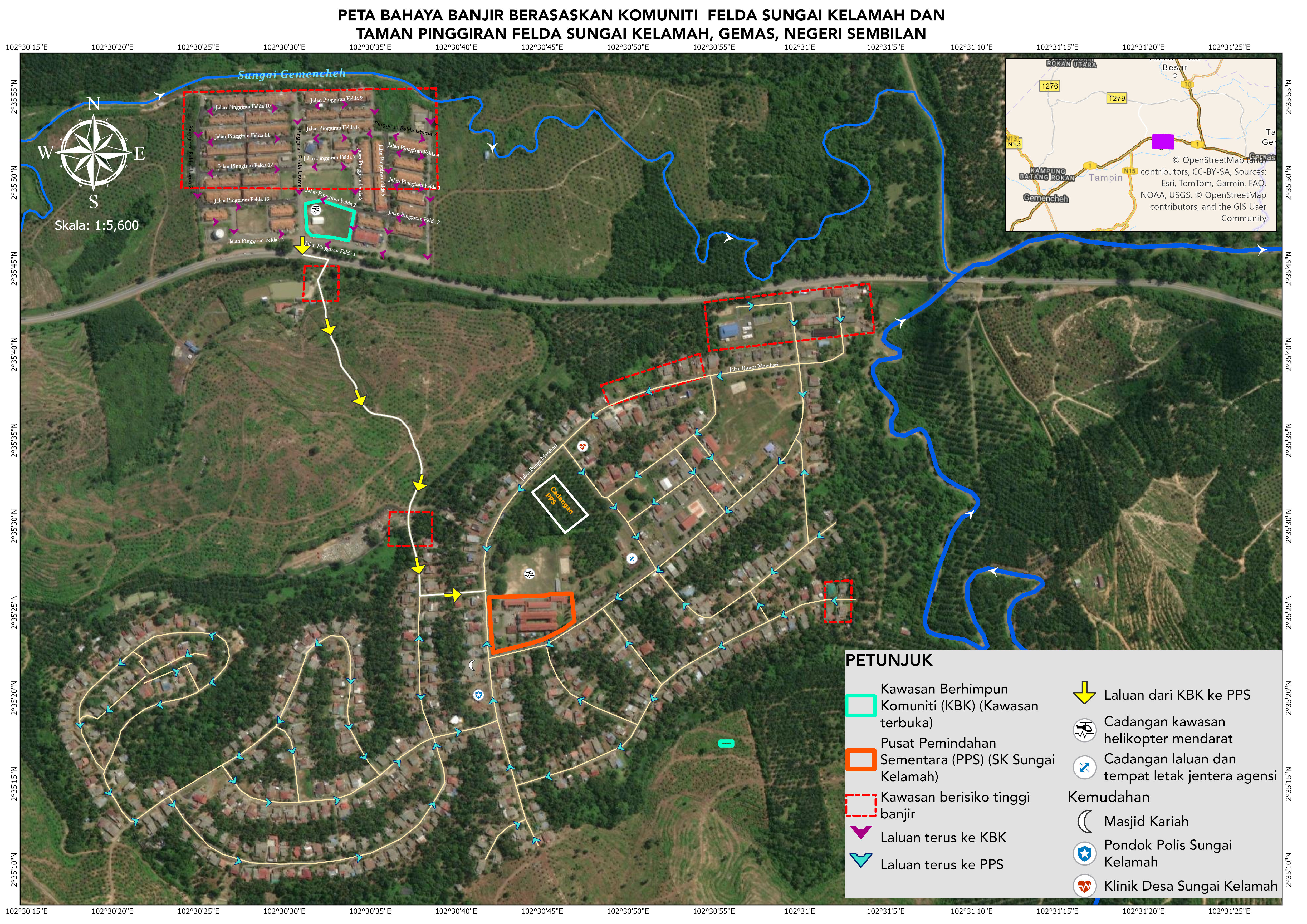
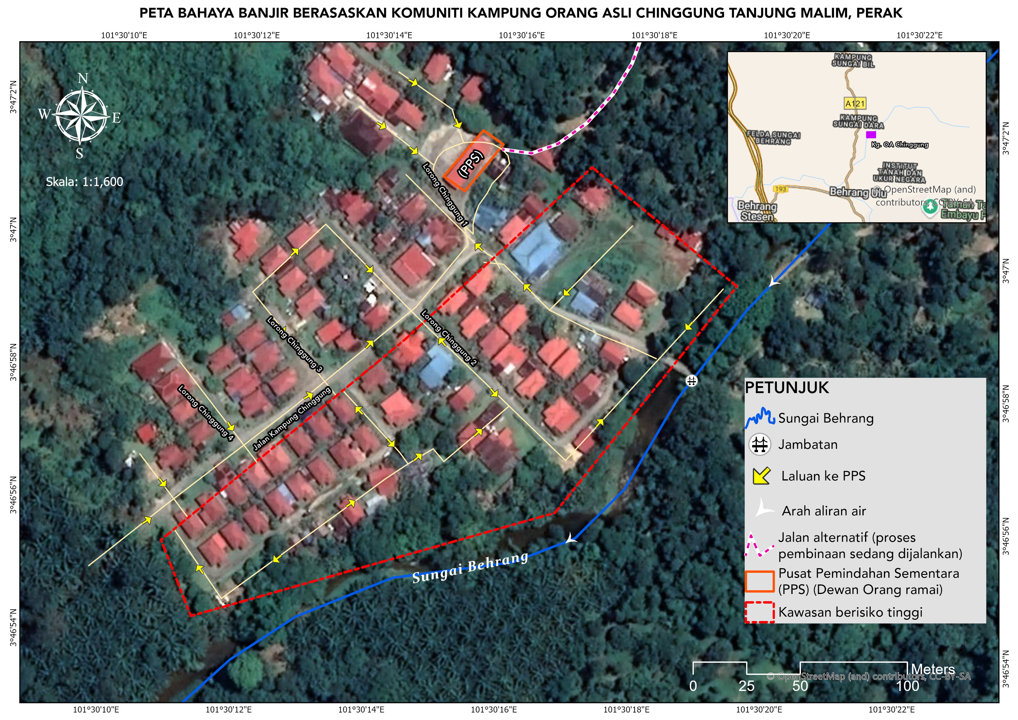
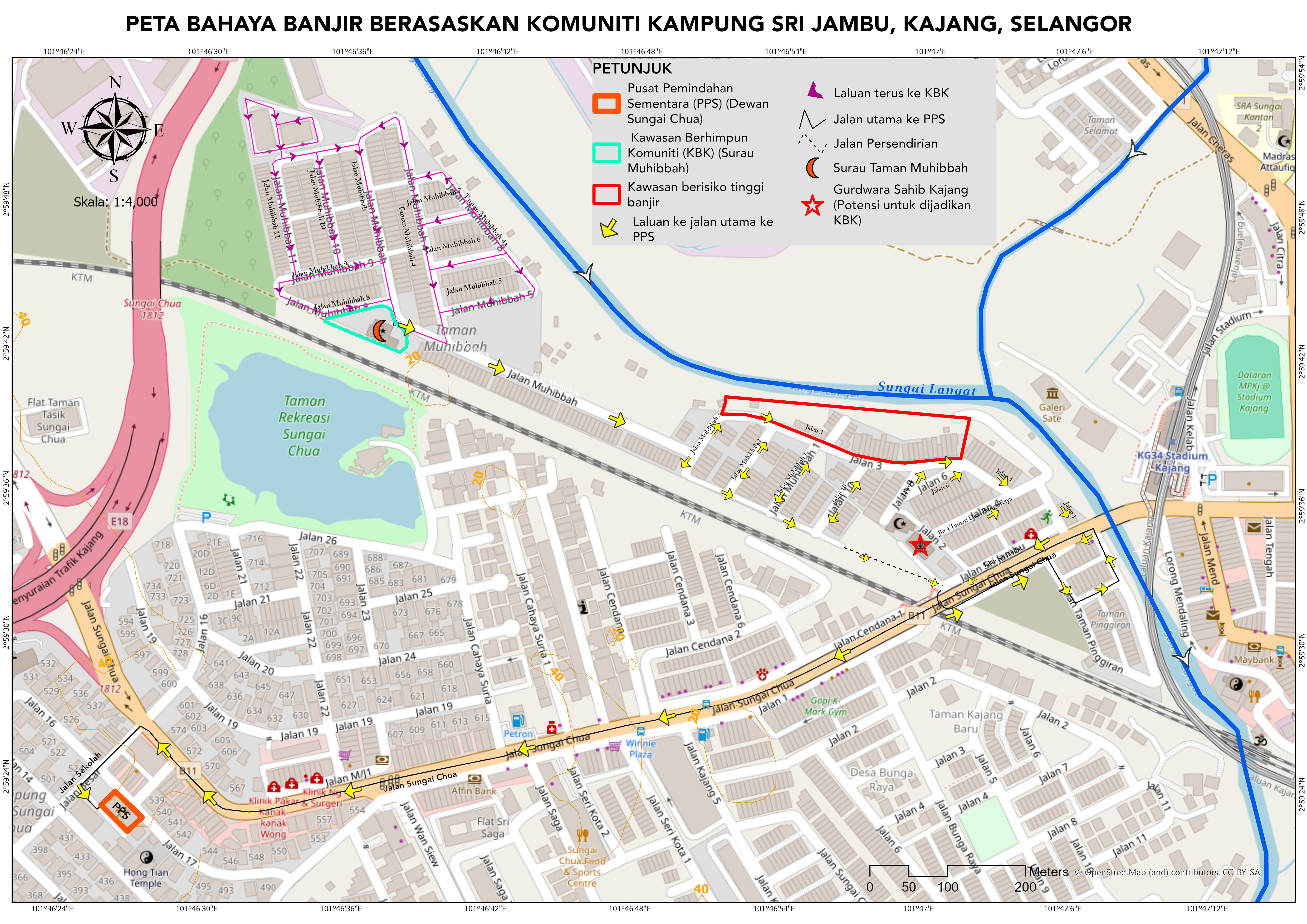
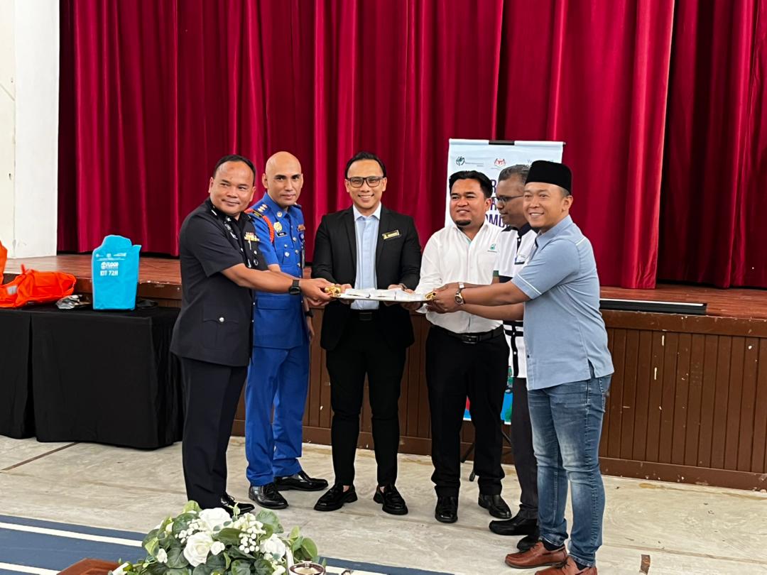
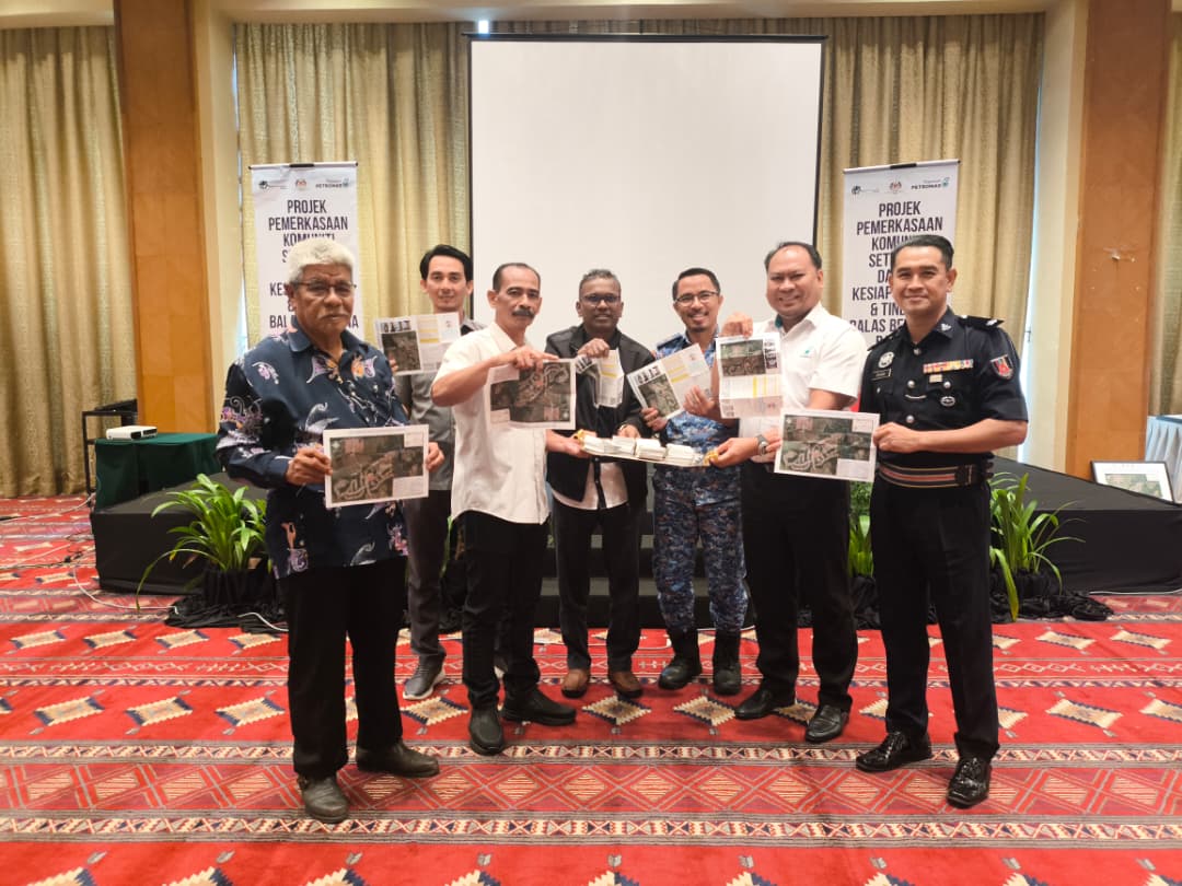
Following the completion of the ToT programme, one lead community was selected in each participating state to develop a Community-Based Flood Hazard Map (CBFHM) and a corresponding Community-Based Flood Response Plan (CBFRP). These were successfully completed by Kampung Orang Asli Chinggung in Perak, Taman Pinggiran FELDA Sungai Kelamah and Kampung FELDA Sungai Kelamah in Negeri Sembilan, Kampung Sri Jambu in Selangor, and Kampung Segambut Dalam in WPKL. The process involved community workshops, ground-truthing, and verification by local agencies to ensure accuracy and relevance to local flood conditions. By September 2025, all CBFHMs and CBFRPs were finalized and handed over to their respective District Offices and Civil Defence Departments for integration into state disaster preparedness systems. These community-led maps now serve as vital tools for early warning, emergency response, and flood risk mitigation at the local level.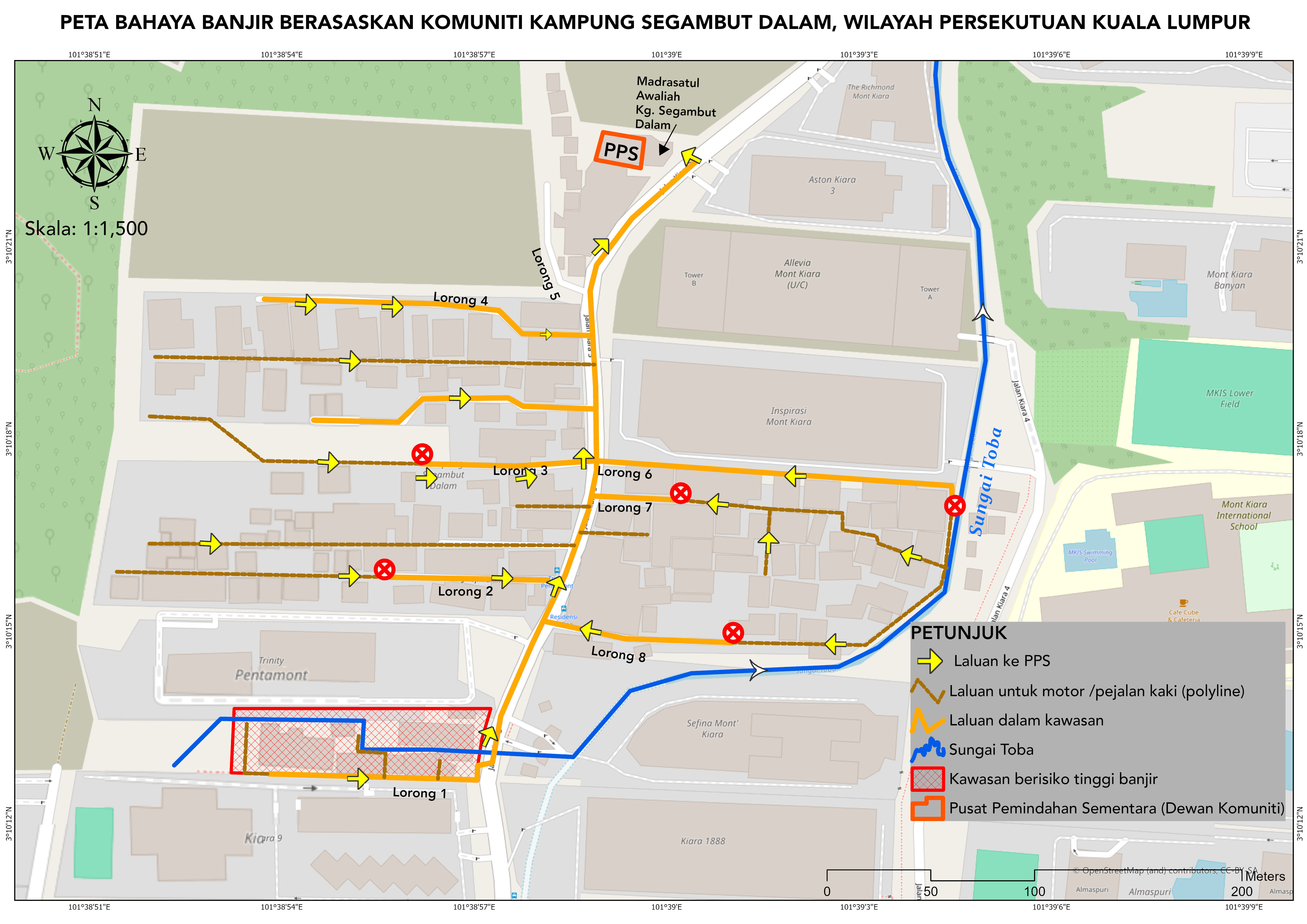
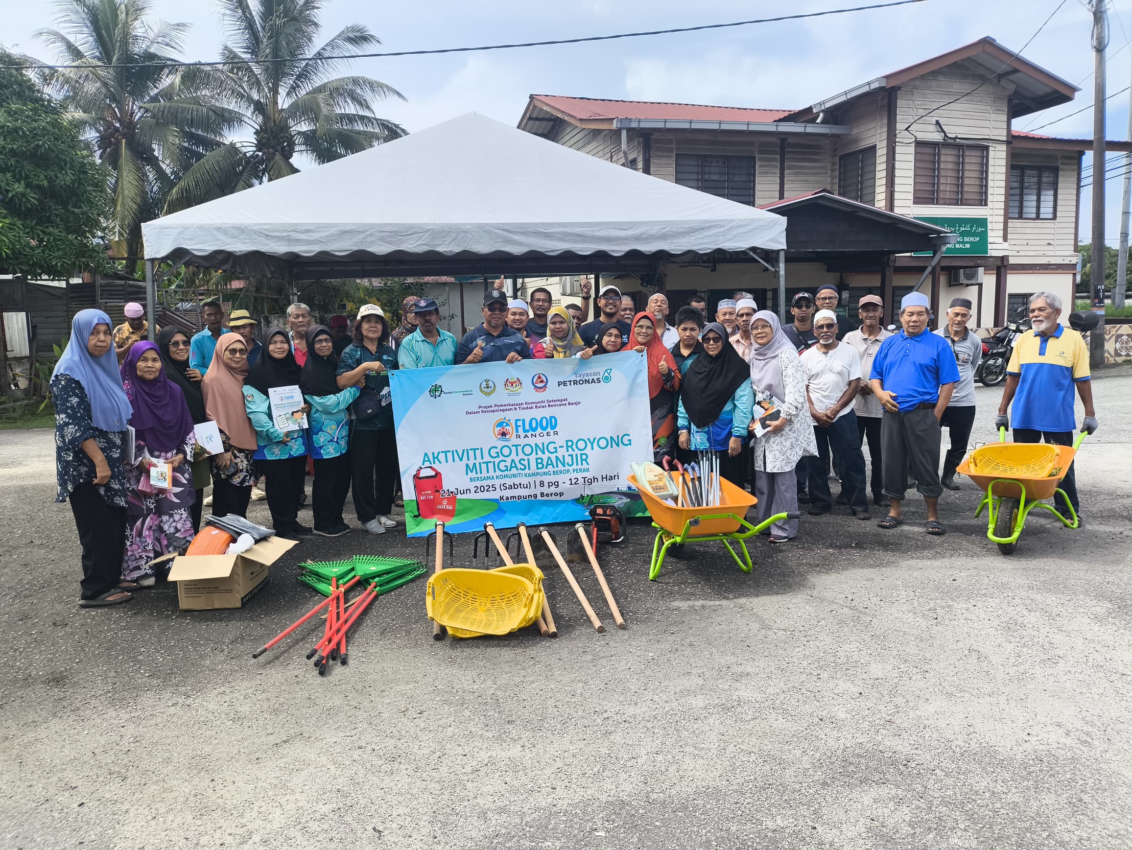
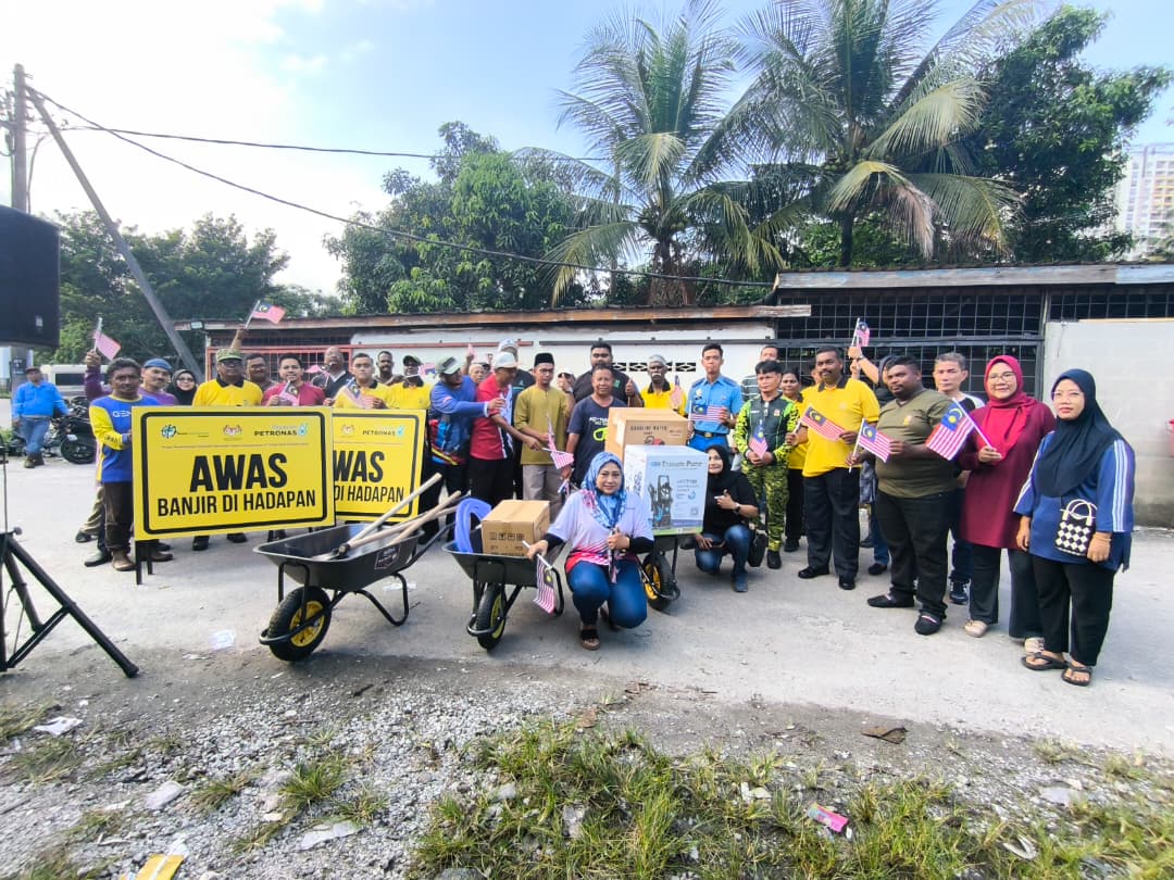
- Community Replication and Localised Follow-Up Activities
After completing the ToT and CBFHM development, participating communities applied their learning through localized flood preparedness and mitigation activities. In Perak, efforts included installing flood warning sirens and signage at Kampung Sungai Bil, holding awareness talks at Kampung Ketoyong, and conducting clean-up works at Kampung Berop. In Negeri Sembilan, Kampung Lubok China and Kampung Sungai Timun organized joint training with the Civil Defence Force and received emergency response equipment such as inflatable boats and life jackets. Selangor communities, including Kampung Paya Jaras Hilir and Kampung Merbau Sempak, installed warning sirens, distributed safety kits, and improved coordination with local responders. In WPKL, flood-prone areas like Kampung Chubadak Tambahan and Kampung Periok Dalam conducted flood awareness sessions, distributed educational materials, and organized mitigation clean-ups. Collectively, these community-driven actions enhanced local preparedness, strengthened leadership capacity, and fostered sustained collaboration with government agencies.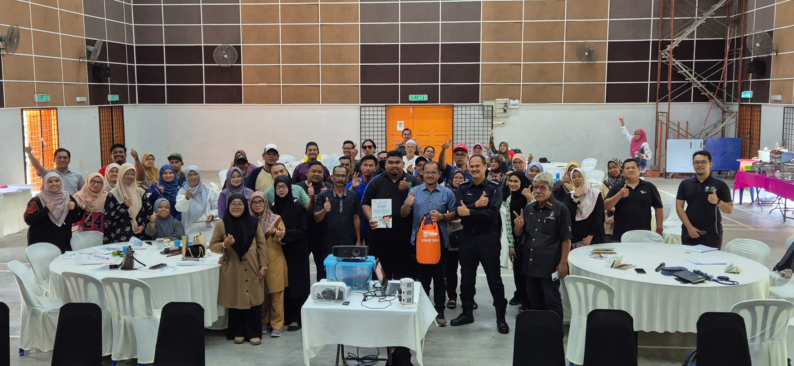
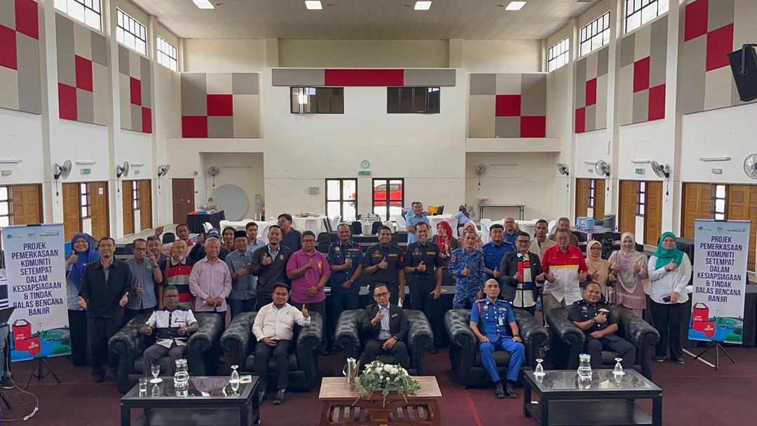
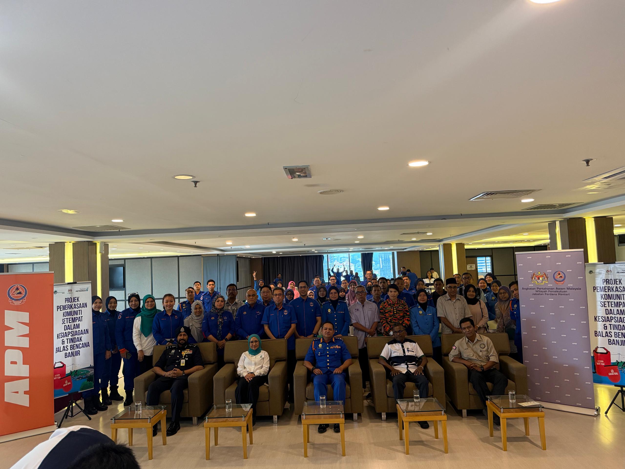
- State-Level Peer-to-Peer Sharing Sessions
Peer-to-Peer sessions were held in Perak (6 Oct 2025), Negeri Sembilan (8 Oct 2025), WPKL (22 Oct 2025), and Selangor (27 Oct 2025). Over 190 participants attended, including NADMA, APM, JPS, YP, local councils, and community representatives. Each event provided a platform for communities to present outcomes, challenges, and mitigation impacts. All lead communities formally presented their CBFHM and CBFRP to respective district authorities, symbolizing community-government partnership. Participants urged for program continuation, better inter-agency coordination, and improved infrastructure for flood management.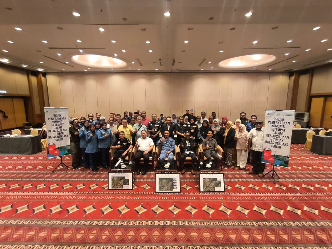

- Distribution of Pocket-Sized Community Flood Maps
The final output of the initiative the pocket-sized Community-Based Flood Hazard Map (CBFHM) was produced for all lead communities and distributed to local households. Copies were also displayed in strategic public spaces such as mosques, schools, and community halls to serve as quick-reference emergency guides. These maps are now used during local drills and awareness events, strengthening preparedness and accessibility of flood risk information among the public.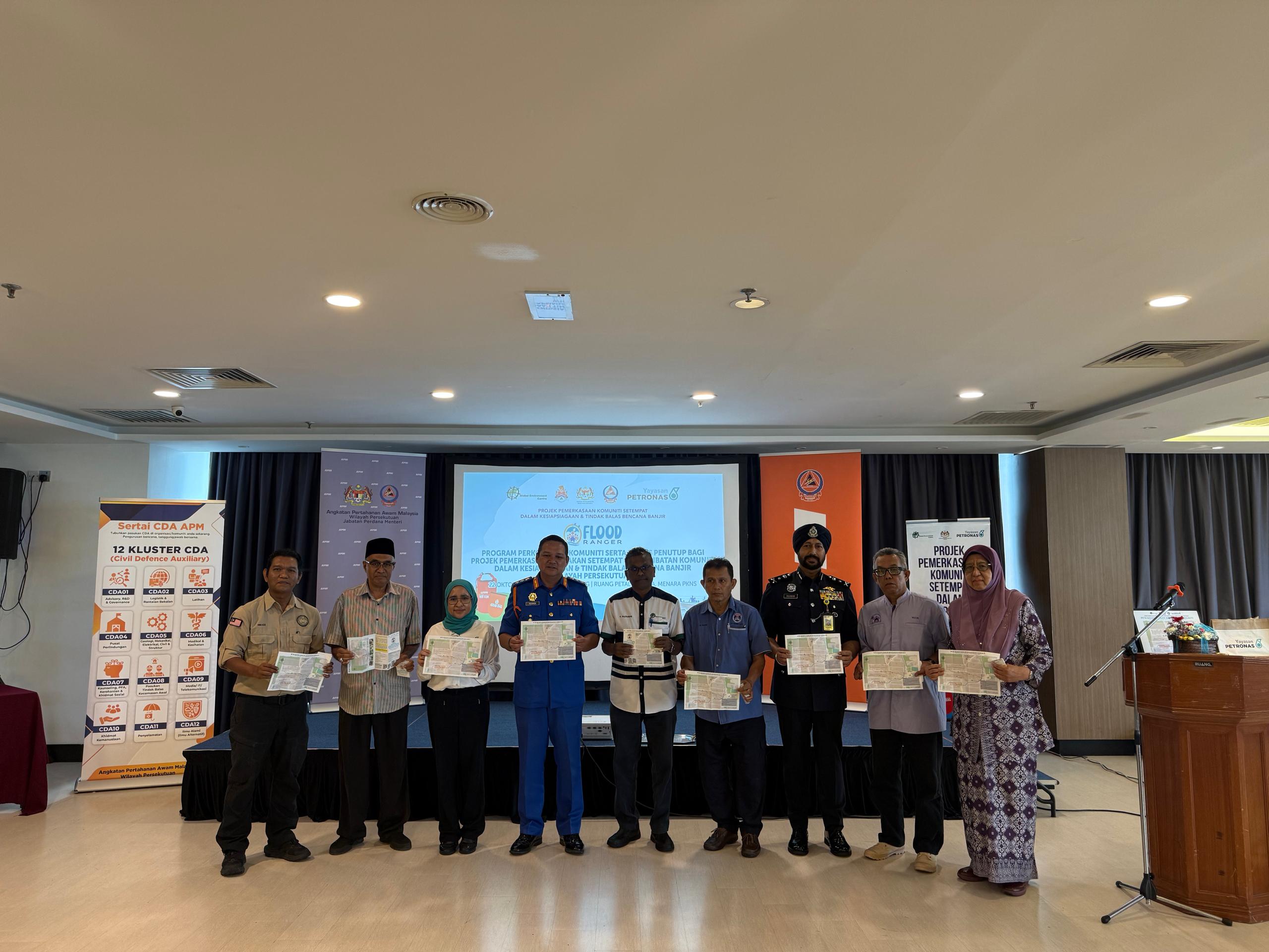

EDUCATIONAL MATERIALS:
Project Material


Webinar Powerpoint
SIRI 1 2024


SIRI 2 2024


SIRI 3 2024


SIRI 4 2024


Webinar Video

WEBINAR SIRI 01: BENCANA ALAM DI MALAYSIA


